-
About
Introduce to Upazila
History & Tradition
Geographical & Economic
Other
-
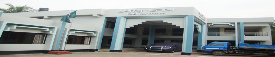
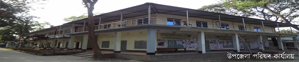
Upz. Parishad
Administrator
Staff
Citizen Charter
ADP report
Annual Financial Statements
Five Year Development Plan
Annual Development Plan (AP)
Projects
-
Upz. admin.
Upazila Nirbahi Officer
About Organogram
Programs & Meetings
- Municipality
-
Govt. offices
◊ Law & order matters
◊ Health related
◊ Education related
◊ Food and Agriculture Affairs
◊ Land and Nature affairs
◊ Engineering & IT
◊ Human Resources
-
Diff. Institutions
Educational institutions
Religious institutions
Private organizations
- Gallery
- Online Hearing
-
About
Introduce to Upazila
History & Tradition
Geographical & Economic
Other
-
Upz. Parishad
Administrator
Staff
Citizen Charter
ADP report
Annual Financial Statements
Five Year Development Plan
Annual Development Plan (AP)
Projects
-
Upz. admin.
Upazila Nirbahi Officer
About Organogram
Programs & Meetings
-
Municipality
Mirzapur Municipality, Tangail
Old Website
-
Govt. offices
◊ Law & order matters
◊ Health related
◊ Education related
◊ Food and Agriculture Affairs
◊ Land and Nature affairs
◊ Engineering & IT
◊ Human Resources
-
Diff. Institutions
Educational institutions
Religious institutions
Private organizations
-
Gallery
Photogallery
Video Gallery
-
Online Hearing
List of Case
Admin Login
| 01 |
Location and Size: |
|
Mirzapur in Tangail district, one of the BMW 1 upazilas. 07111982 as well as in the country's first head of state to raise the value of the police station was inaugurated. Earth map Mirzapur upazila US 4 0 01 r northern latitudes 4 0 1 r north latitude and 89 0 58 east longitude and 90 r 0 14 r in the east longitudes. Tangail district on the north basaila and sakhipur, Kaliakoir upazila of Gazipur district on the east, south and west of Dhaka district Tangail district on dhamrai Delduar and nagarpur district is located. The total area of 373.88 square kilometers in Mirzapur upazila. |
|
02 |
Earth Nature: |
|
Witness on the east part of the region apart from the rest of the floodplain. Witness the eastern part of the track is part of Pleistocene Madhupur claimant. The local part of the '' rock '' is called. Bansai plain drained by rivers, and Lohajang khagajana. In addition, there are numerous khala bill. A total of 2043 out of the pool, mini-ponds in 1358 were arable. A total of 11832 acres of forest. |
|
03 |
General Information about Mirzapur upazila |
|
Mirzapur upazila was liberated tarikha 13121971 AD. 840 Total number of freedom fighters. Number of fighters killed 33 people.
|
|
04 |
Information about Educational institutions |
|
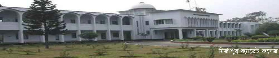
1. Government College 01 (Mirzapur Cadet College). II. Private University College 01. 3. Technical College - 04. 4. Private College 06. 5. Private Medical College 01 6. Private high school balaka 45. 7. Private high school balika 05 (including Bharateswari Homes). 8. Lower-secondary school 03. 9. 113 government primary school. 10. Recently, the government announced by the government primary school 49. 11. Un-registration. 05 primary school. 1. 06 community school. 13. Kindergarten gardena 69. 14. NGO siksapratisthana 45. 15. Ebtedayee madrasa - 03. 16. 13 submitted to the madrasa. 17. Alim madrasa 02 seats. 18. Hafezia madrasa - 38. 19. Forkania / Maktab - 145 0. Qaumi madrassas - 1 T. 1. Etimakhana 06. |
|
05 |
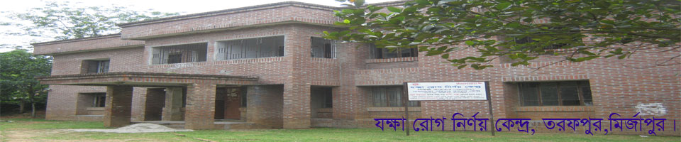
Health Services |
|
|
=২=
|
06 |
Communication facilities |
|
|
|
07 |
Agricultural Information |
|
|
|
08 |
Economy and Occupation |
|
Vocational rate of population
|
|
09 |
Historical places and prominent Person |
|
For some reason in the historic district of Mirzapur well known in the subcontinent. These are established by the 750-bed munificient Bahadur Prasad Shaha ranada 'Kumudini Hospital' educational institutions' Bharateswari homes' '. There are also the country's top local Cadet College, Mirzapur Cadet College. Vehicles plying 90 routes around the country day and night, always in motion Mirzapur upazila 4 hours. Education, health and communication systems due to the importance of '' Mirzapur district 'is a name well known all over the country. There are many industries in Gorai union of the upazila. |
|
10 |
Industrial factory |
|
|
|
11 |
Others Information |
|
There are 01 municipalities and 14 union districts. 03 unions and 01 partial flood free almost completely flood-free. The flood-free areas of public and private forests and high soil to a great extent. The remaining part of the district is low and little barsatei flooded. The rainy season in most areas of transport boat movement. |


Planning and Implementation: Cabinet Division, A2I, BCC, DoICT and BASIS
Technical Assistance:
![]()
Developed By: